JTWC Issued: 2030 UTC 13 Jul 2026
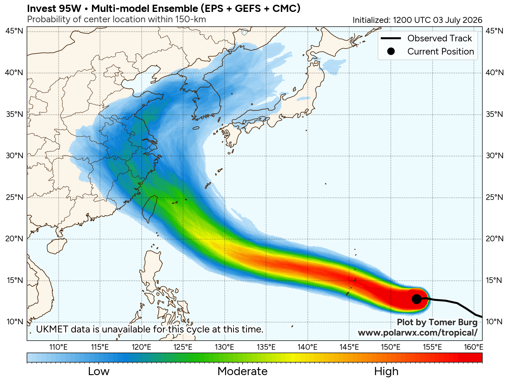
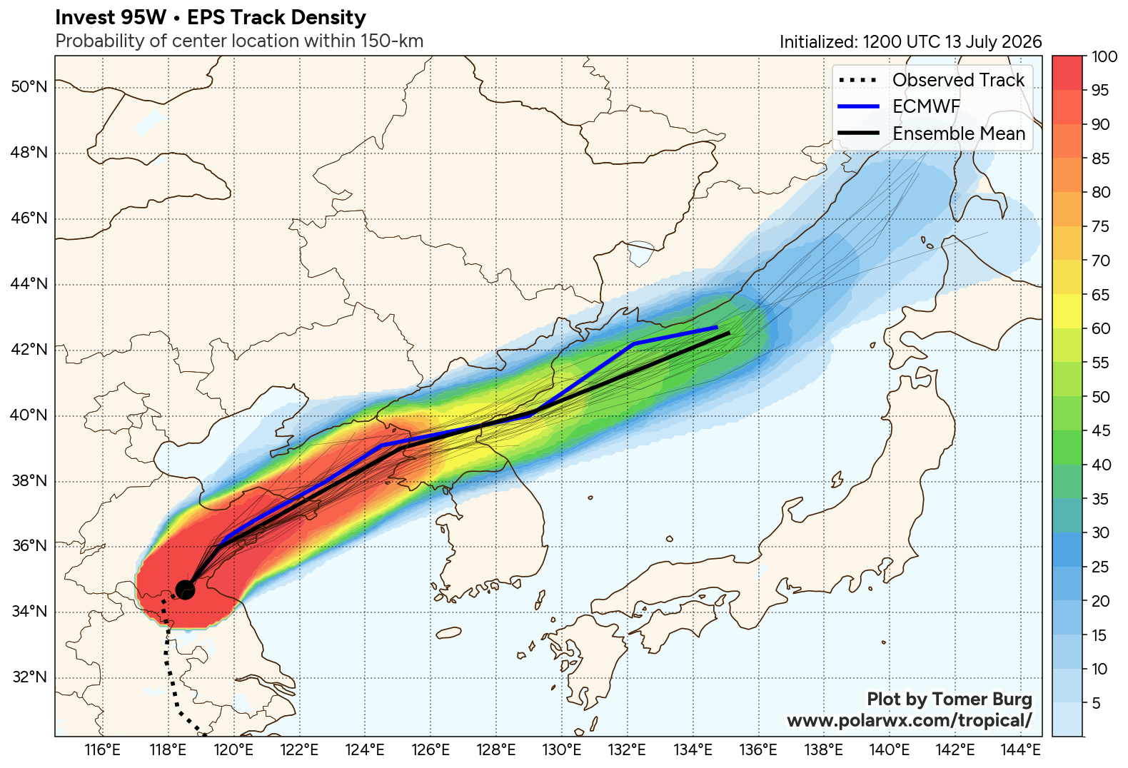
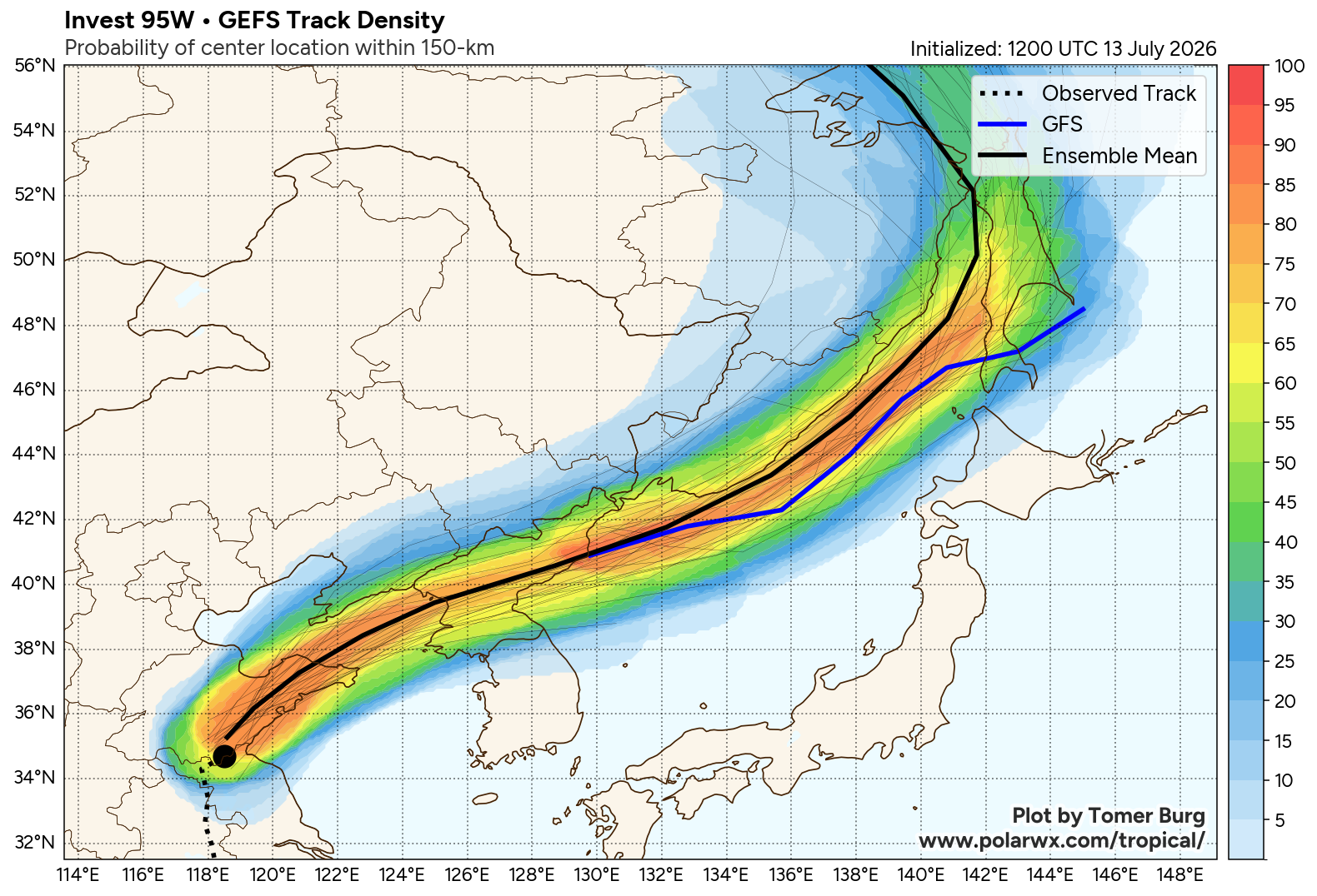
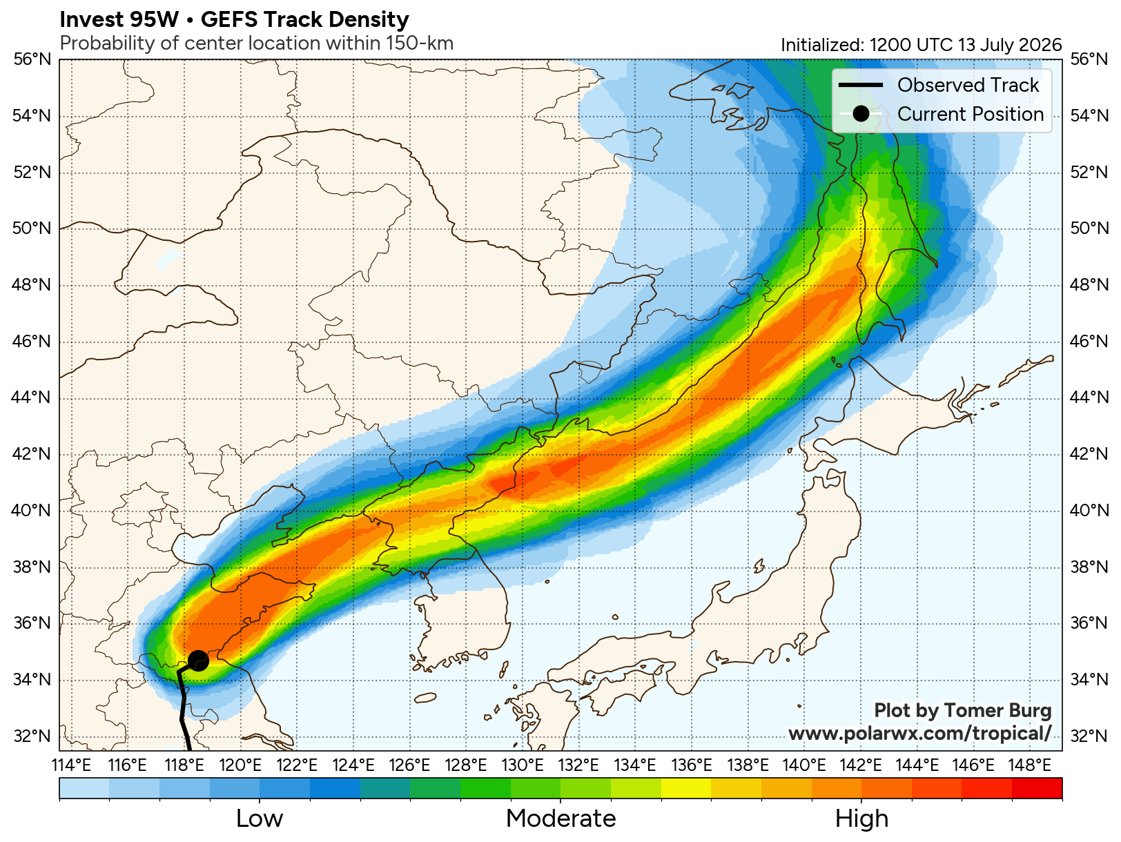
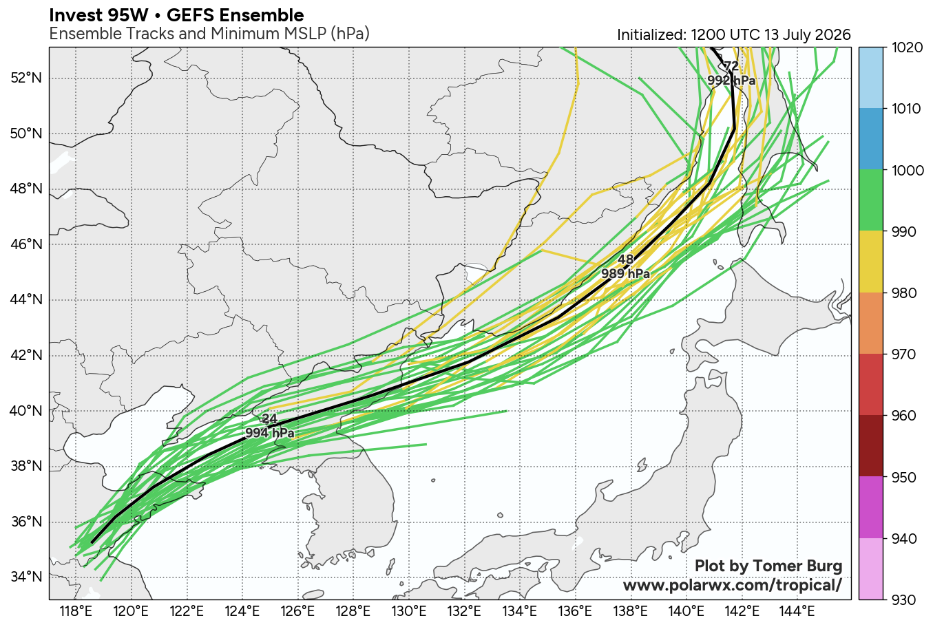
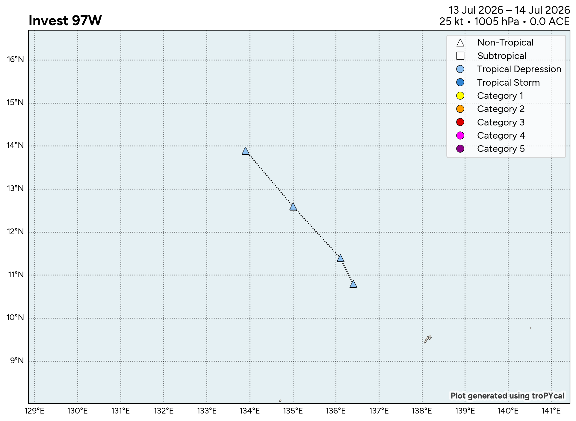
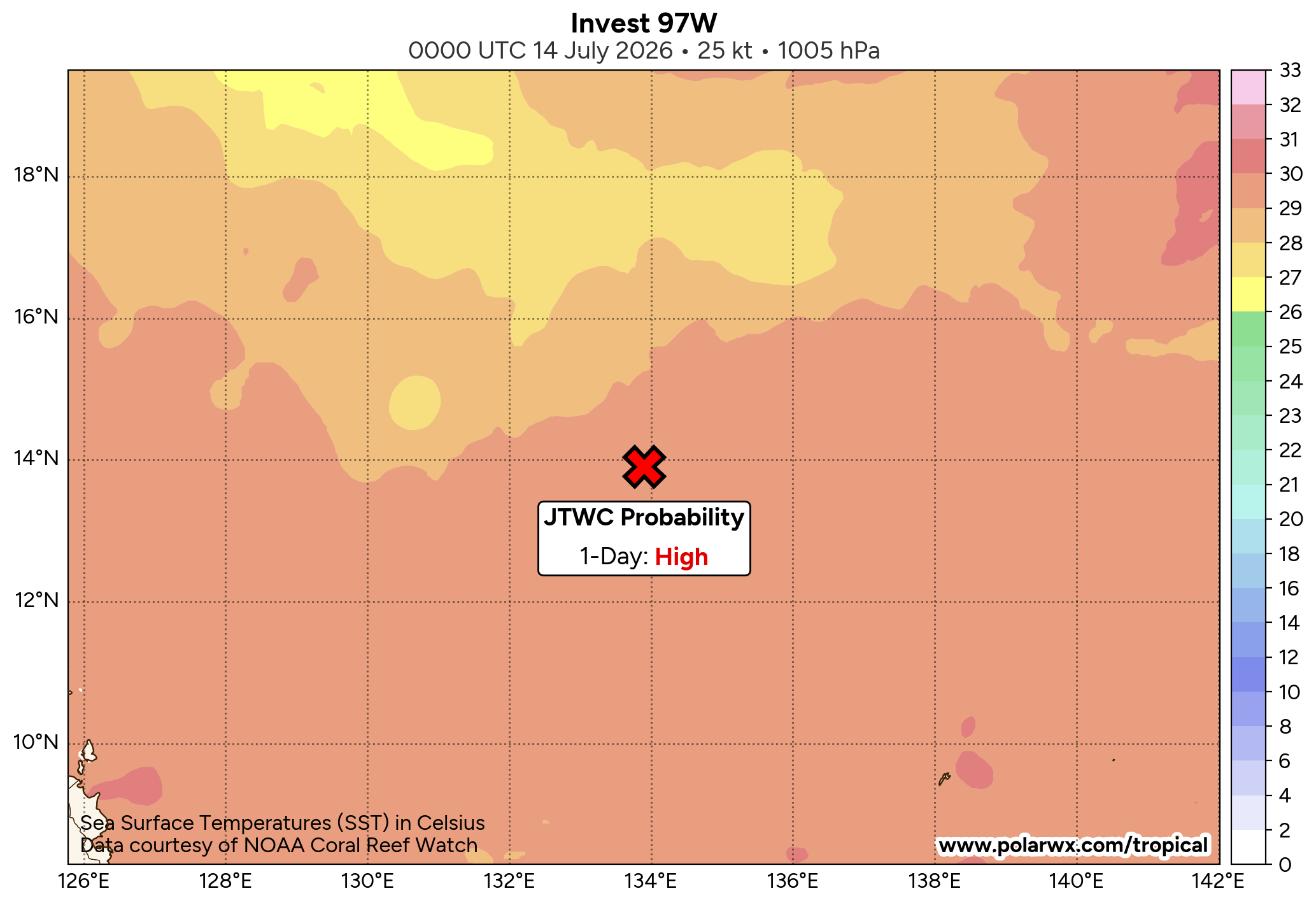
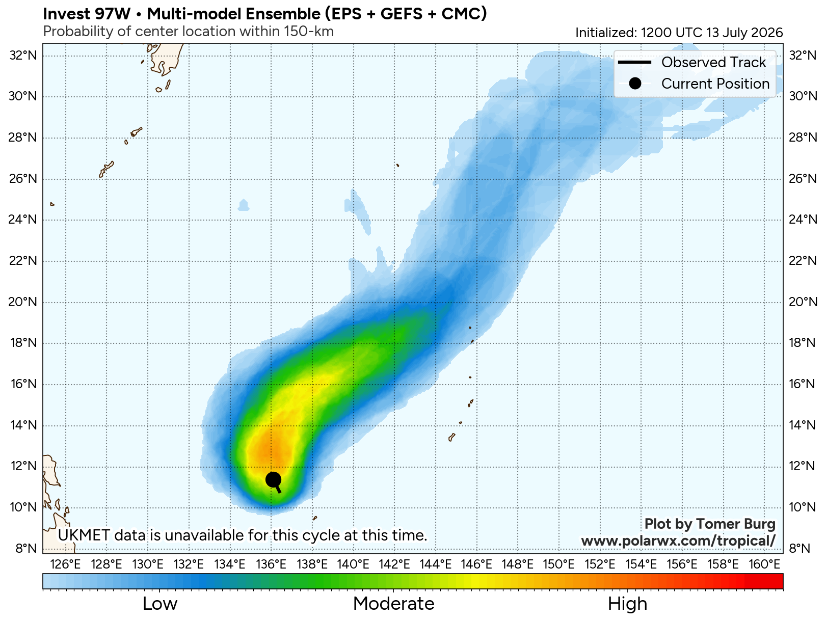
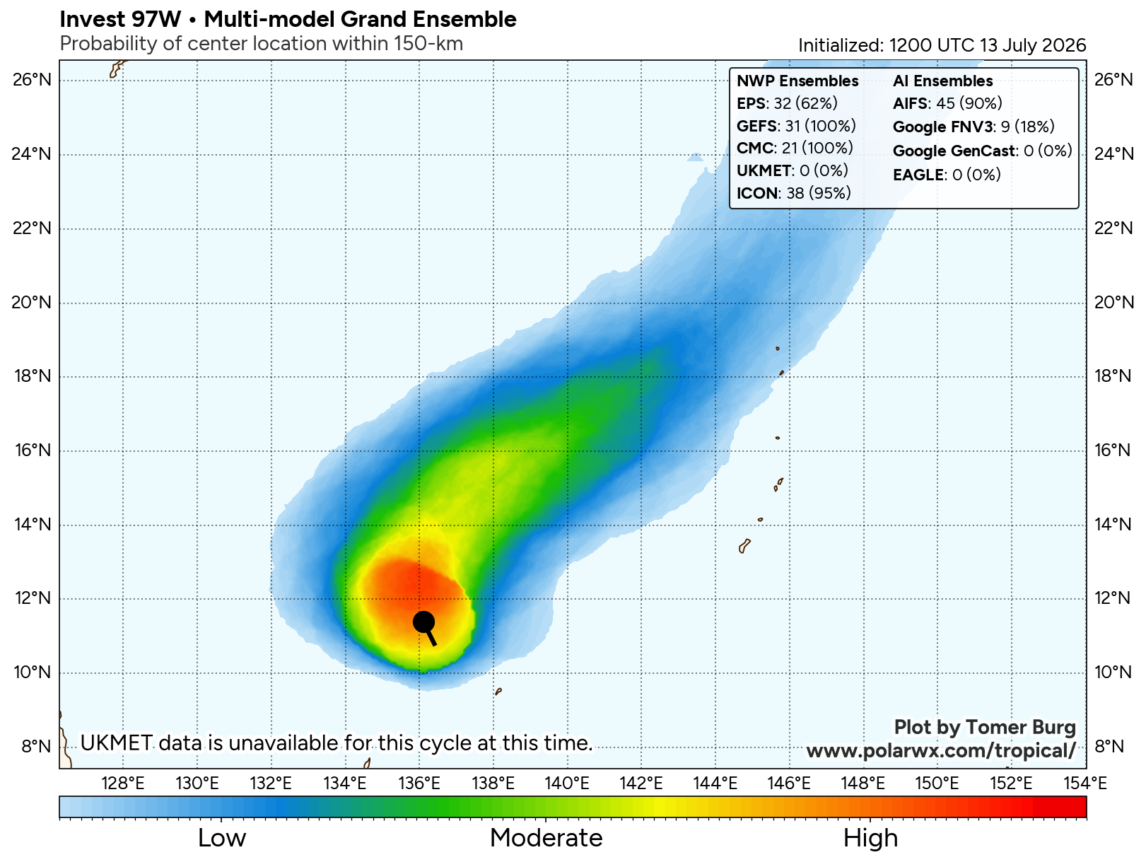
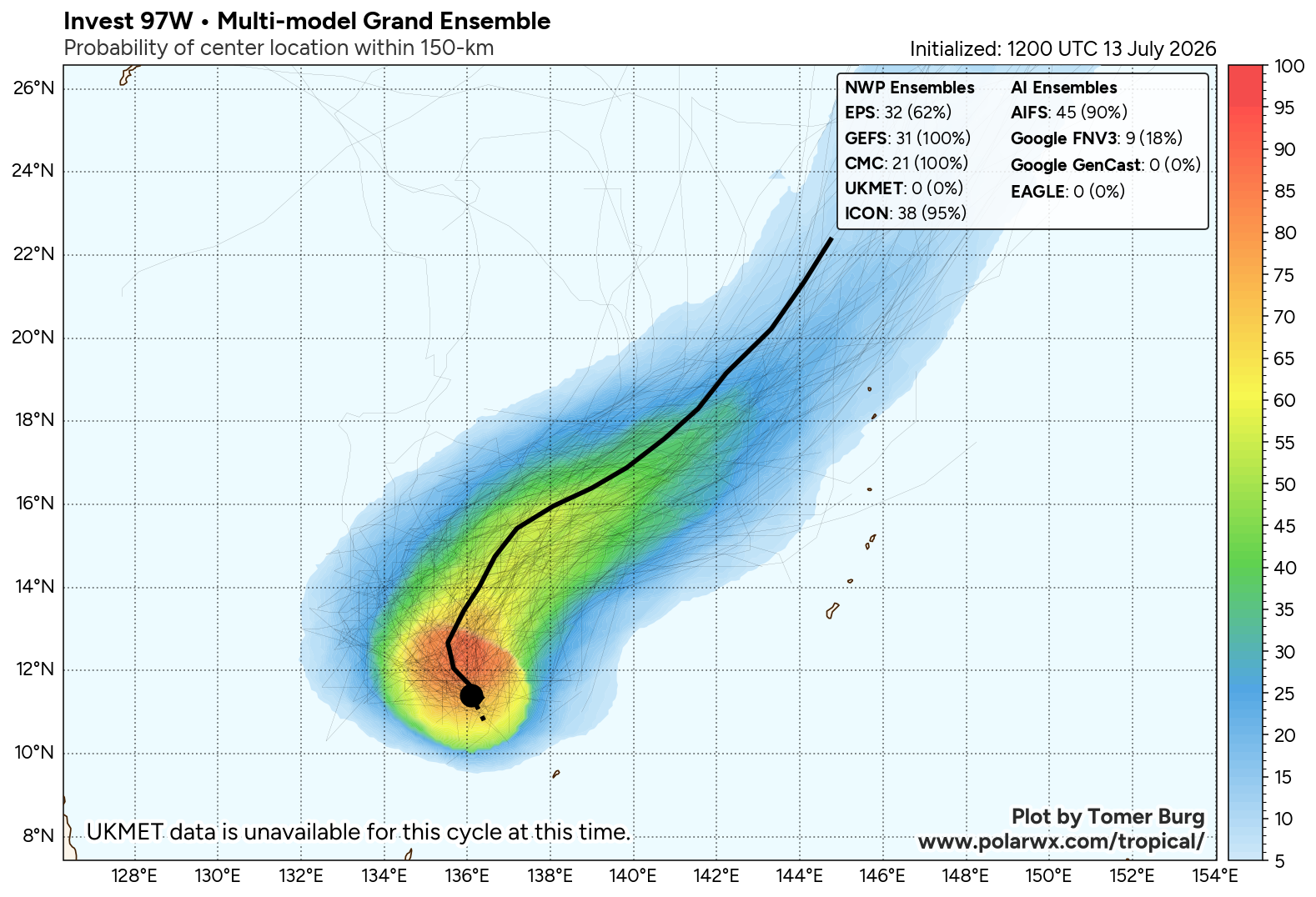
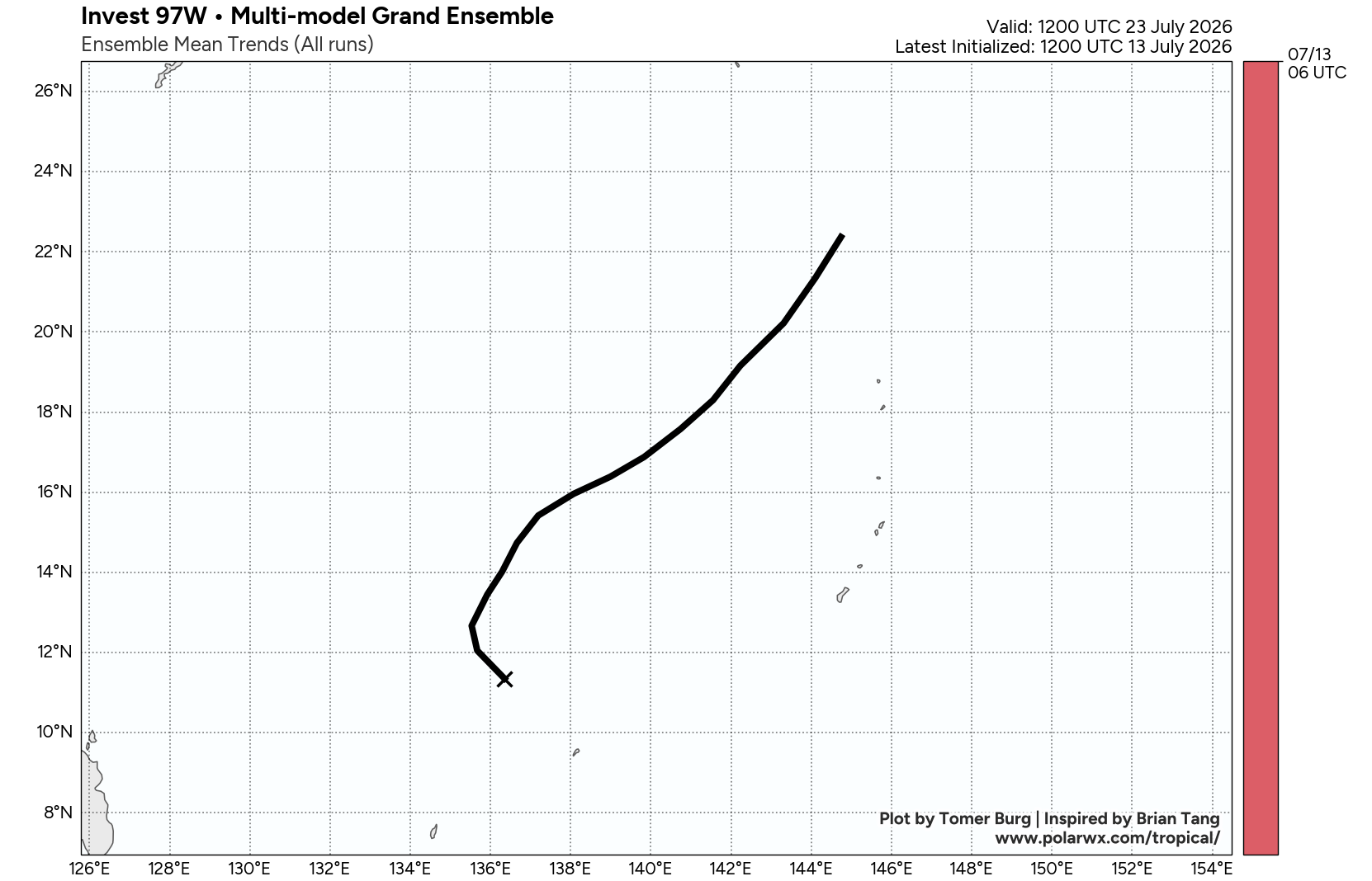
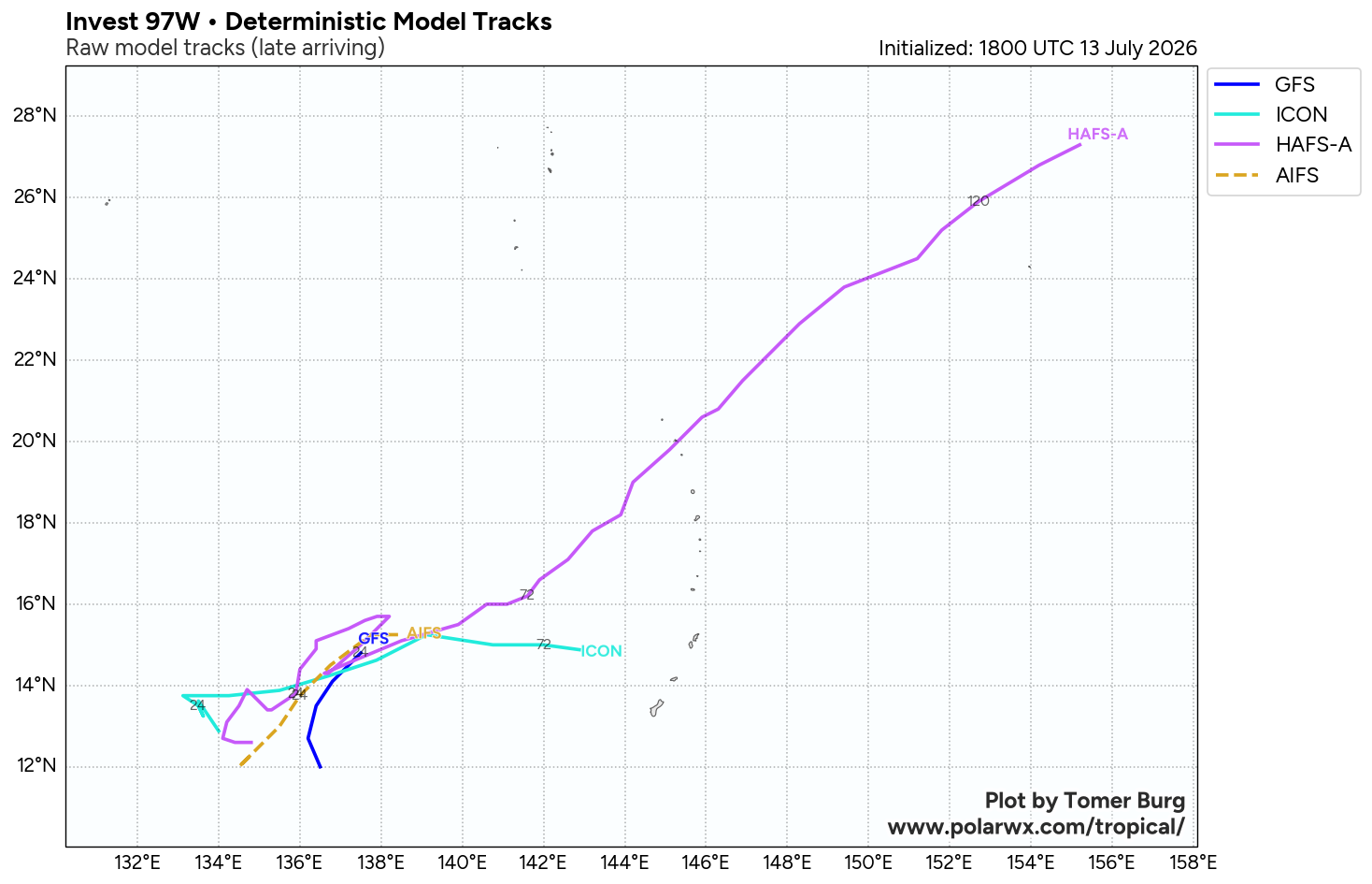
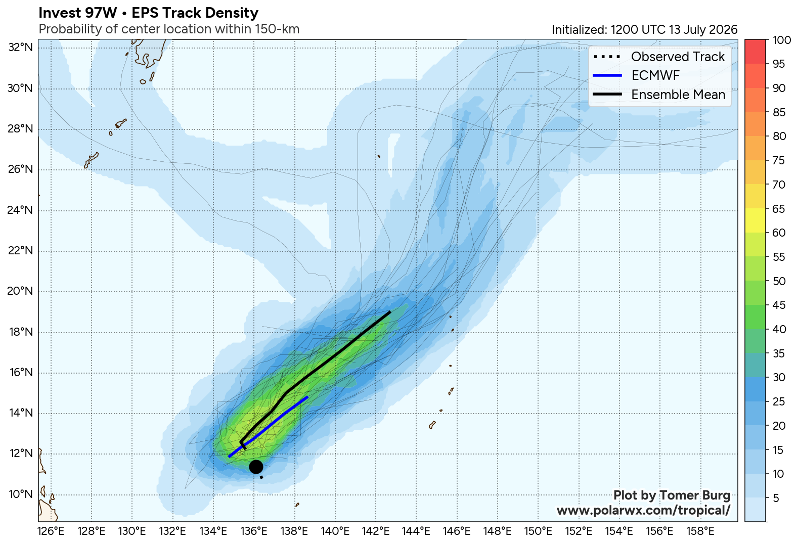
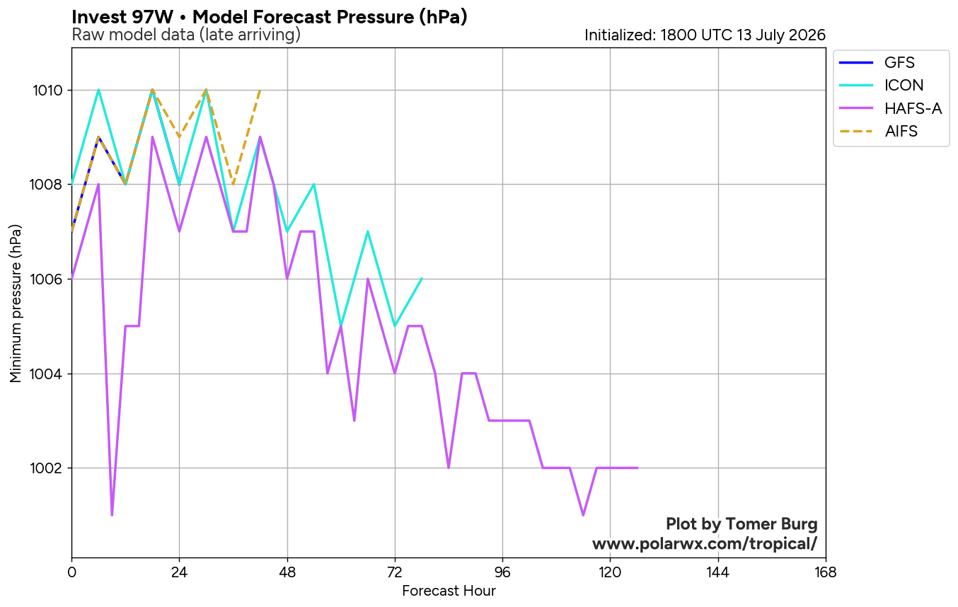
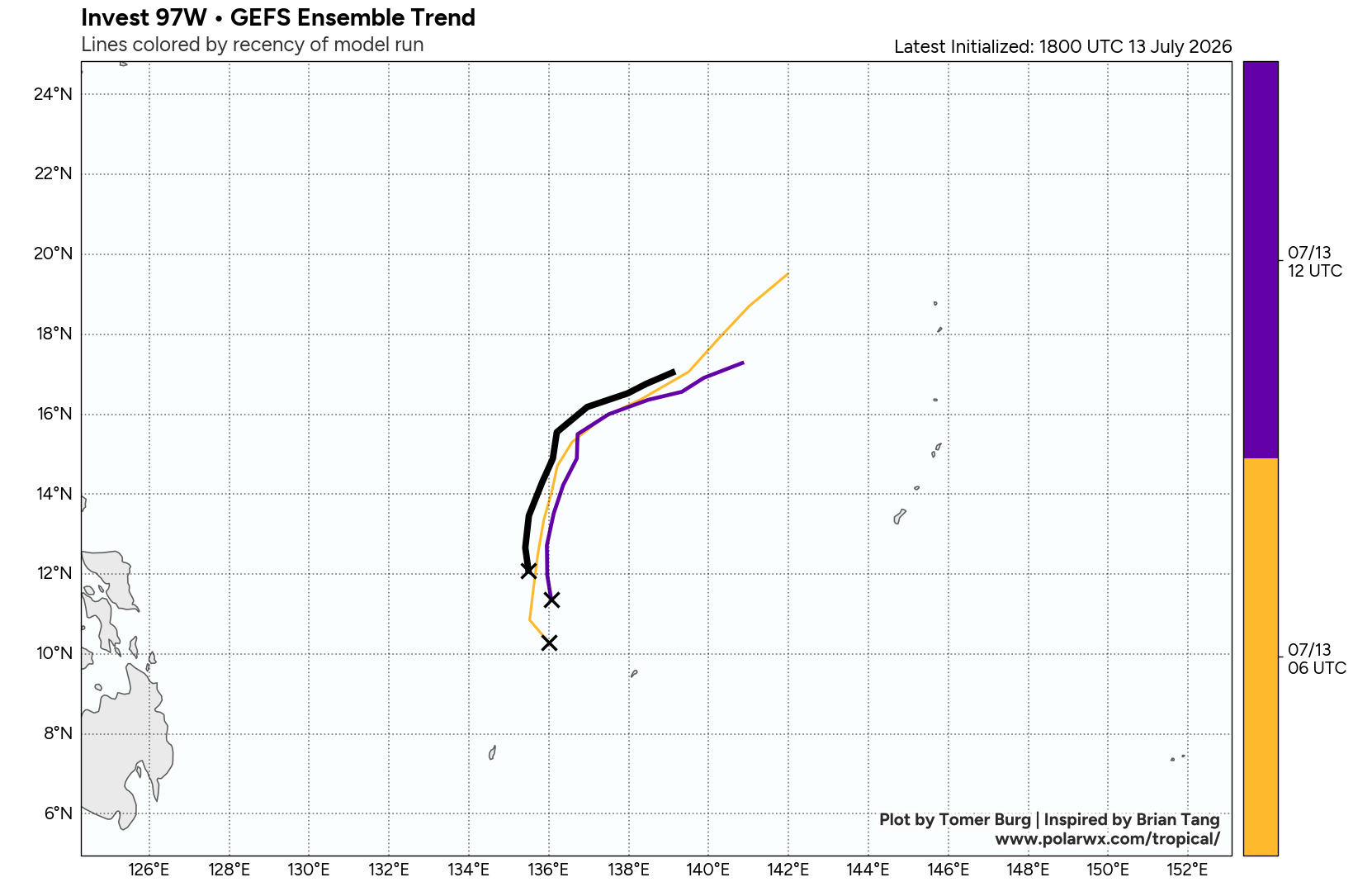
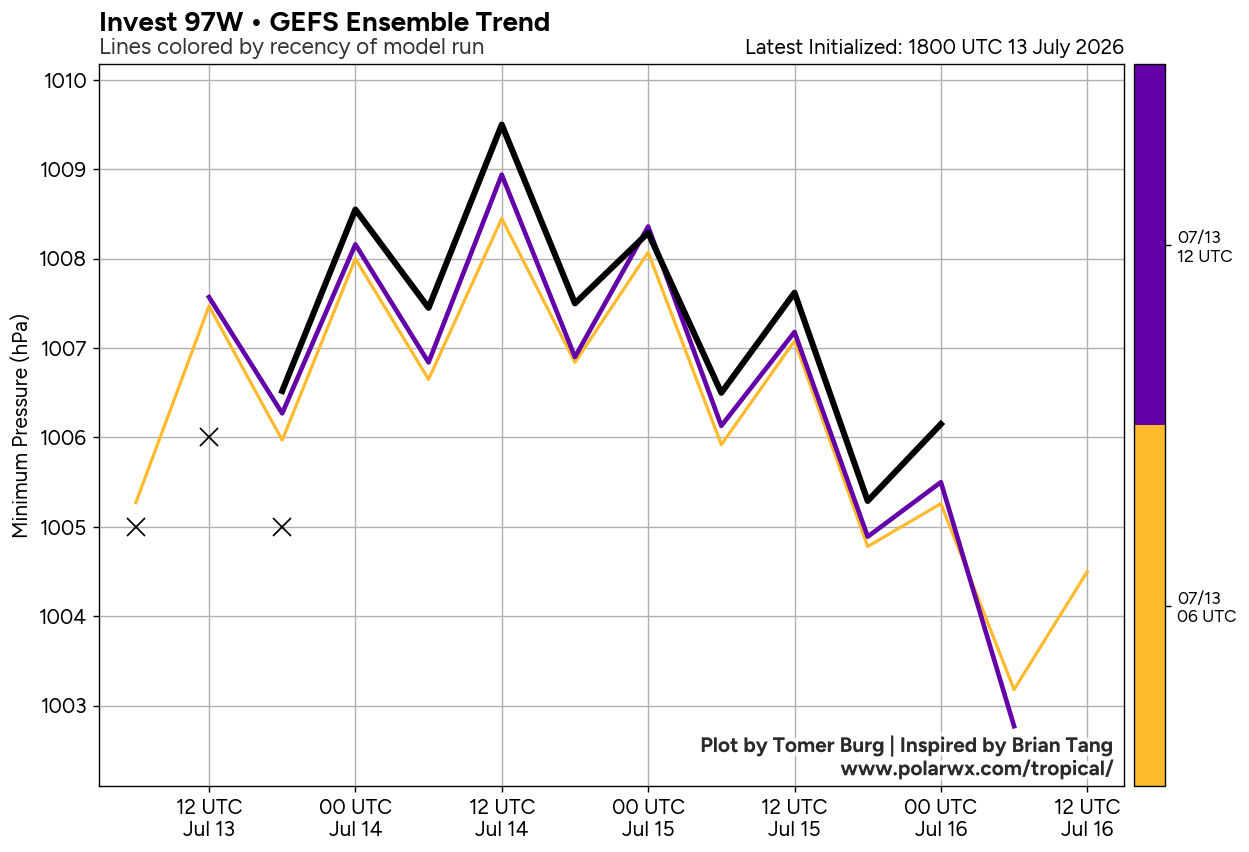
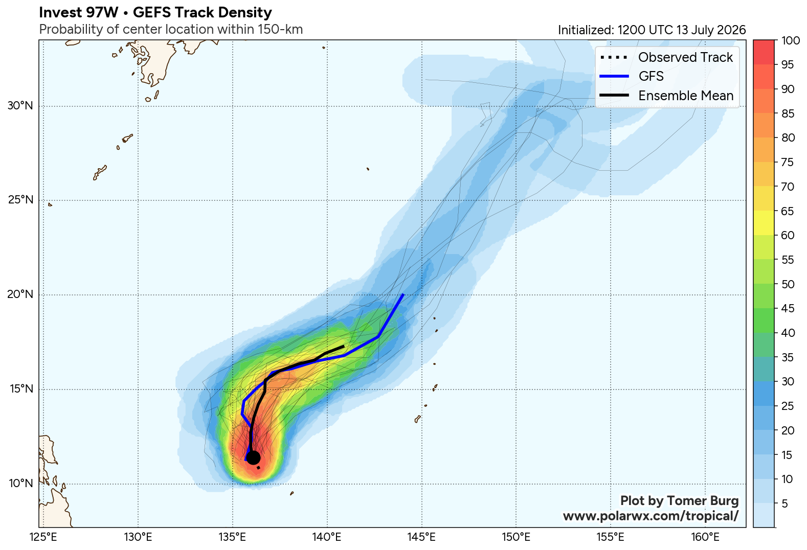
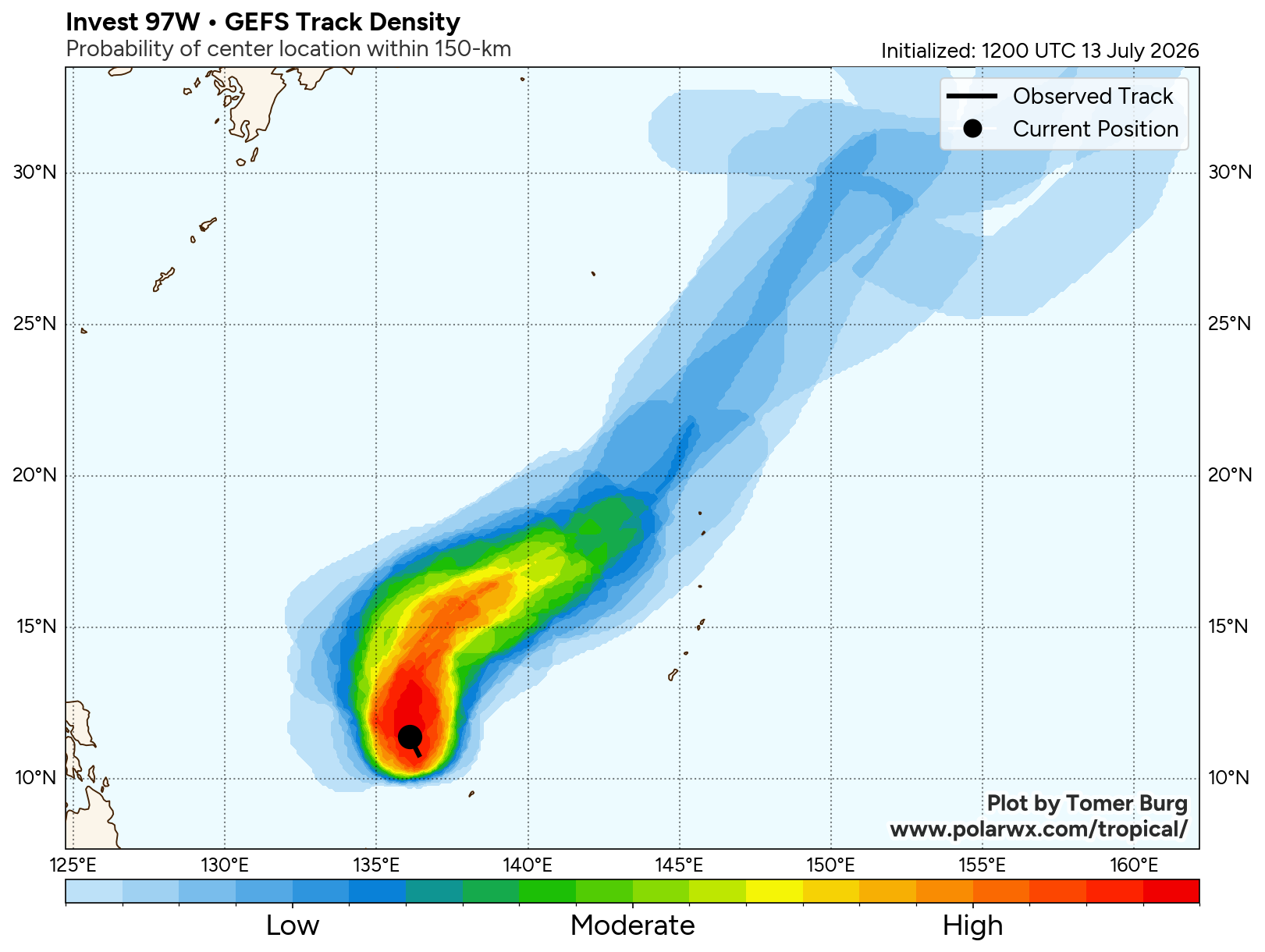
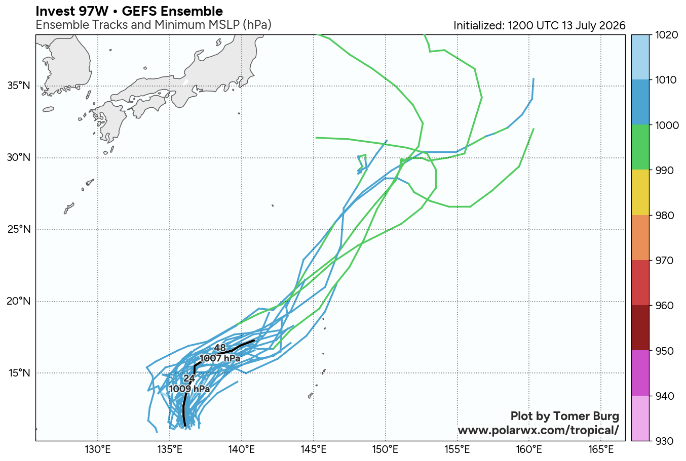
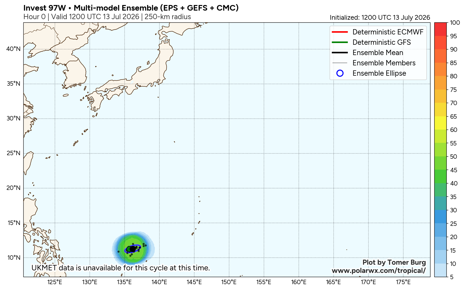
The area of convection (invest 97W) previously located near 10.5N 145.3E is now located near 10.8N 136.8E, approximately 110 nm northwest of Yap. Animated multispectral satellite imagery (MSI) depicts a mostly obscured, elongated and relatively disorganized low-level circulation (LLC) with flaring convection primarily focused on the western flank. A 130006z ASCAT pass depicts the elongated circulation with a swath of 25 kt winds to the south of the center and pockets of 20kt winds to the northeast and southwest. Environmental analysis reveals a favorable environment for development with moderate poleward and equatorward upper-level outflow, low to moderate vertical wind shear (15-20 kts), and warm sea surface temperatures (29-30 c). Global models show 97W tracking generally northwestward as it rapidly consolidates over the next 24 hours, but the GFS, ECMWF, and navgem all show the system quickly dissipating within 48 hours. Ensemble models show a weak system tracking northwestward then turning northeastward after 48 hours while quickly weakening.
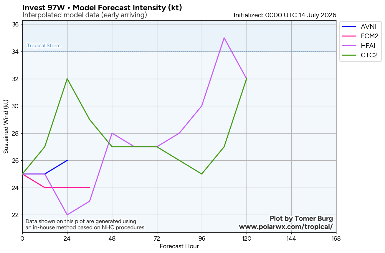
Maximum sustained surface winds are estimated at 23 to 28 knots. Minimum sea level pressure is estimated to be near 1001 mb. The potential for the development of a significant tropical cyclone within the next 24 hours remains high.see ref a (wtpn21 pgtw 130330) for further details.