JTWC Issued: 2030 UTC 22 Jul 2026
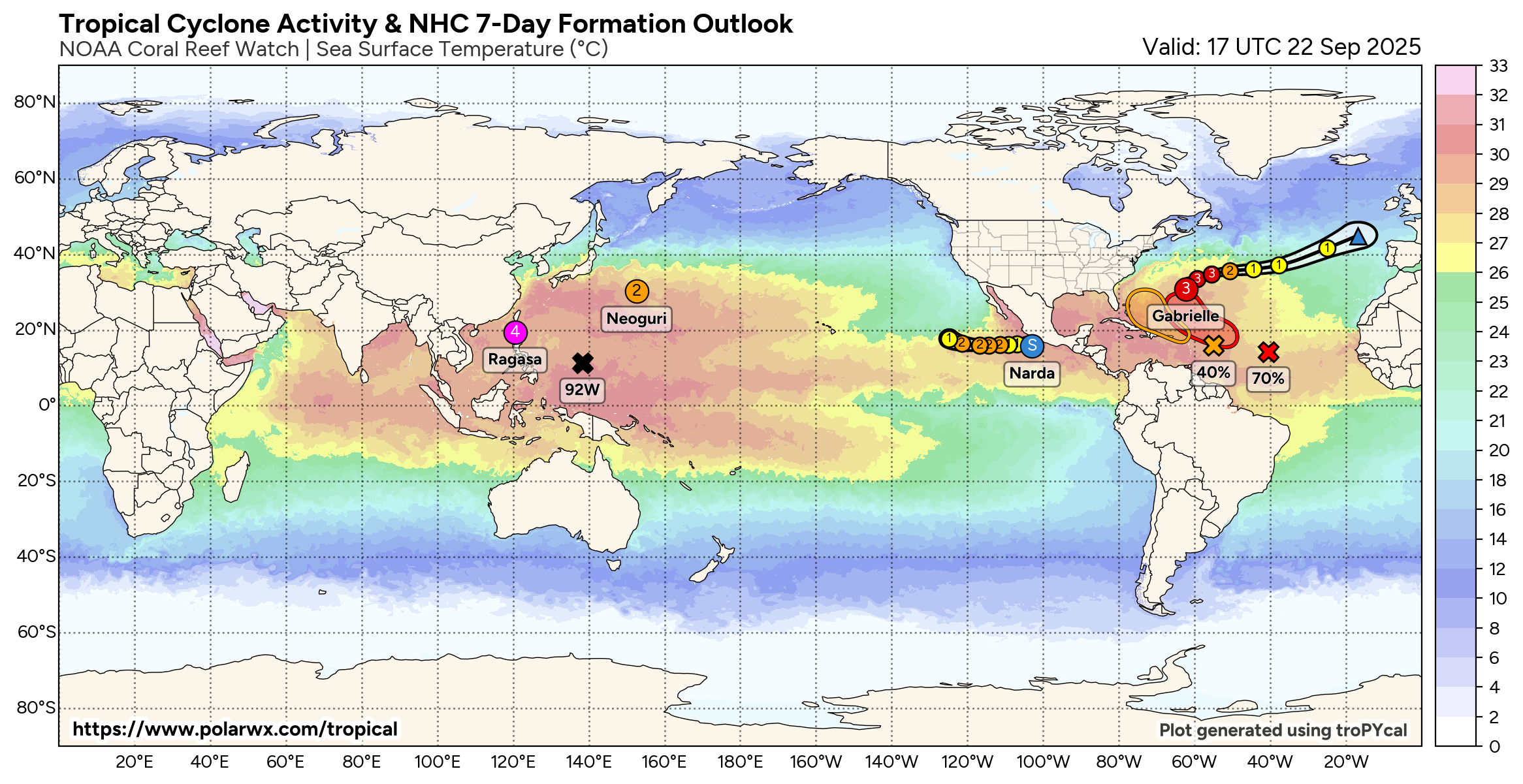
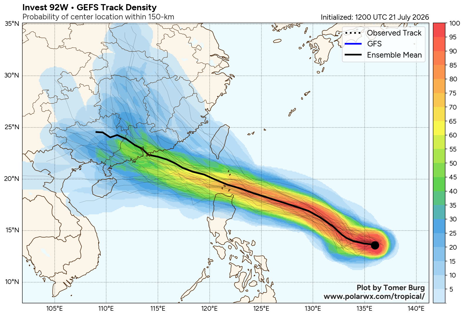
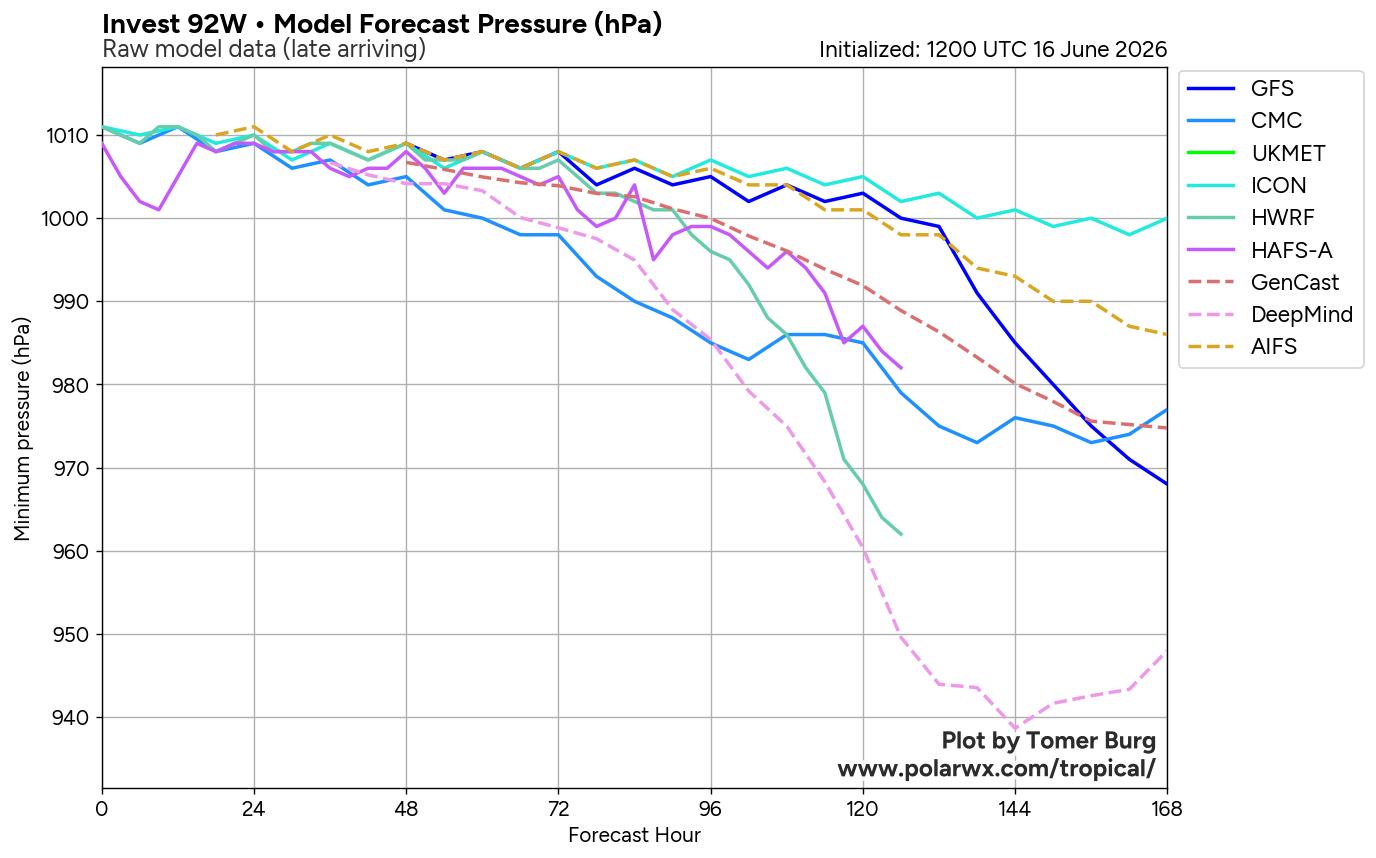
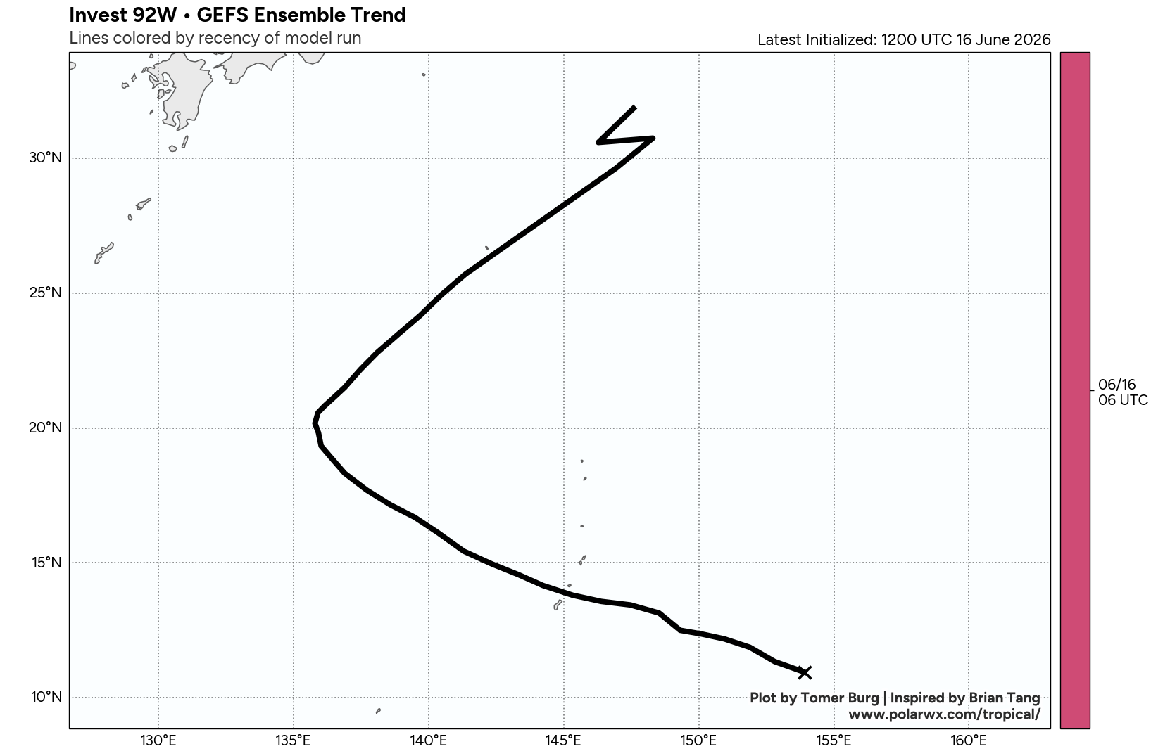
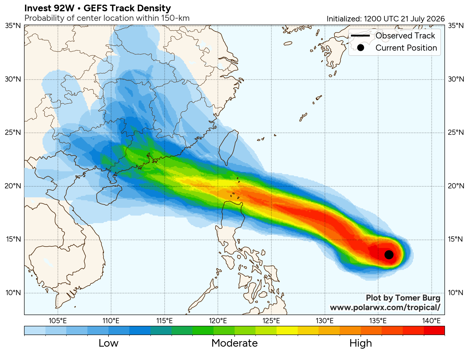
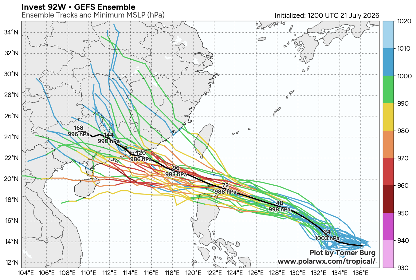
The area of convection (invest 92W) previously located near 13.8N 133.9E is now located near 15.2N 130.6E, approximately 416 nm east-northeast of Legazpi, Philippines. Animated enhanced infrared satellite imagery (EIR) depicts curved deep convective banding over the western periphery. The partially exposed low-level circulation center (LLCC) is displaced from the mid-level circulation under the presence of moderate easterly vertical wind shear (15-20 kts). A 221634z amsr2 89ghz image reveals a loosely defined low-level center, and a 221307z ASCAT MetOp-C pass shows 20 kt winds located 40-60 nm east of the center. This indicates that the radius of maximum winds is decreasing, and the system, now on the cusp of becoming a tropical depression, is slowly consolidating. Environmental analysis for the area indicates a favorable environment for development, characterized by modest vertical wind shear, good westward outflow aloft, and warm sea surface temperatures (29-30 c). Global deterministic and ensemble models are in very good agreement that 92W will continue to gradually intensify over the next 24 hours.
Maximum sustained surface winds are estimated at 18 to 23 knots. Minimum sea level pressure is estimated to be near 1003 mb. The potential for the development of a significant tropical cyclone within the next 24 hours is upgraded to high. See ref a (wtpn21 pgtw 222030) for further details.