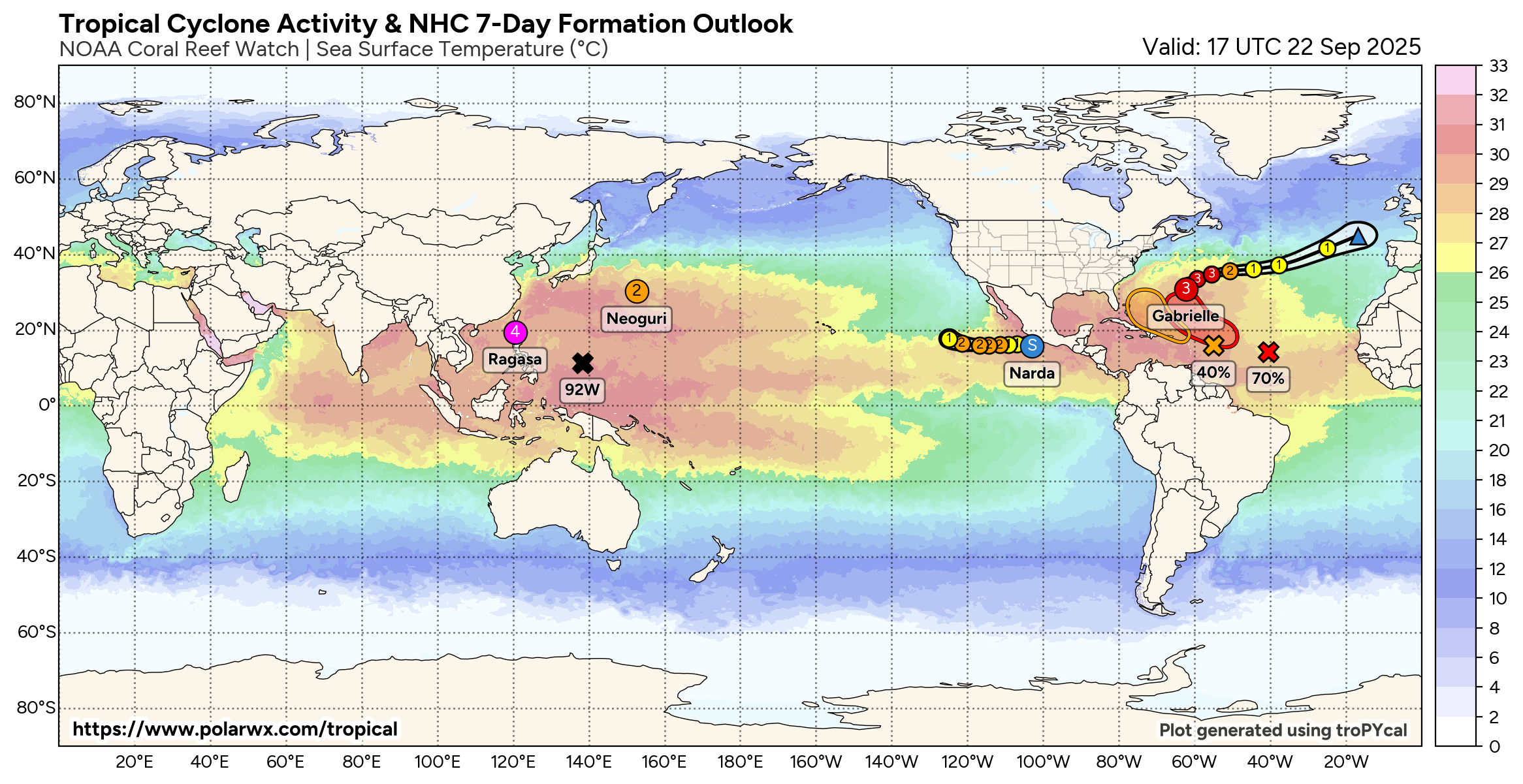
This page displays active tropical cyclones and invests, updated automatically using the Tropycal python package. Data is available courtesy of
the National Hurricane Center (NHC) for Atlantic and East & Central Pacific cyclones, and the Joint Typhoon Warning Center (JTWC) globally. Click on any
storm below for more information. All images are free to share with credit.
This page is currently under construction, and more additions will be coming soon. As of 9/25/2025, the superensemble viewer is back. Contact tomerburg@gmail.com with any questions.
This page is currently under construction, and more additions will be coming soon. As of 9/25/2025, the superensemble viewer is back. Contact tomerburg@gmail.com with any questions.
ACTIVE STORMS
There are no active storms.
ACTIVE INVESTS
There are no active invests.
AREAS OF INTEREST
There are no active areas.
